Ship House, The Street
Introduction
The photograph on this page of Ship House, The Street by John Baker as part of the Geograph project.
The Geograph project started in 2005 with the aim of publishing, organising and preserving representative images for every square kilometre of Great Britain, Ireland and the Isle of Man.

There are currently over 7.5m images from over 14,400 individuals and you can help contribute to the project by visiting https://www.geograph.org.uk
Ship House, The Street
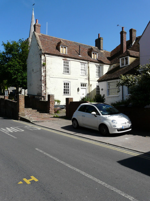
Image: © John Baker Taken: 7 Jun 2015
It is a grade II listed building that dates from the early 18th century http://www.britishlistedbuildings.co.uk/en-178108-ship-house-ash-kent#.VZgfZf7bLcc I thought it had an air of neglect from this side, as the dormer windows appear to have been boarded over from inside the house.
Images are licensed for reuse under creativecommons.org/licenses/by-sa/2.0
Image Location
Latitude
51.278723
Longitude
1.277838