Side extension to Mulberry House, Chequer Lane
Introduction
The photograph on this page of Side extension to Mulberry House, Chequer Lane by John Baker as part of the Geograph project.
The Geograph project started in 2005 with the aim of publishing, organising and preserving representative images for every square kilometre of Great Britain, Ireland and the Isle of Man.

There are currently over 7.5m images from over 14,400 individuals and you can help contribute to the project by visiting https://www.geograph.org.uk
Side extension to Mulberry House, Chequer Lane
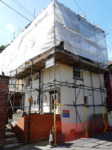
Image: © John Baker Taken: 7 Jun 2015
Planning permission has been granted by Dover District Council under application number DOV/14/00921 for the “erection of a single storey side extension and extension of pitched roof over existing flat roof extensions”. This is Image after the work had been completed.
Images are licensed for reuse under creativecommons.org/licenses/by-sa/2.0
Image Location
Latitude
51.279771
Longitude
1.275761