Stone bridge over former railway cutting
Introduction
The photograph on this page of Stone bridge over former railway cutting by Stanley Howe as part of the Geograph project.
The Geograph project started in 2005 with the aim of publishing, organising and preserving representative images for every square kilometre of Great Britain, Ireland and the Isle of Man.

There are currently over 7.5m images from over 14,400 individuals and you can help contribute to the project by visiting https://www.geograph.org.uk
Stone bridge over former railway cutting
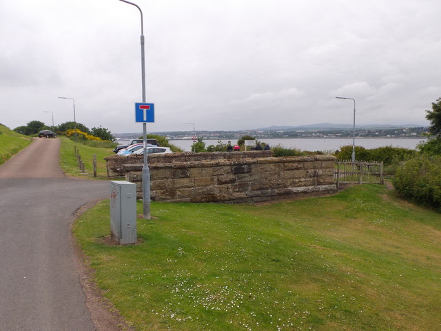
Image: © Stanley Howe Taken: 25 Jun 2015
Off Commonty Road (continuing left as a cul-de-sac); the railway cutting having been filled onto just below road level.
Images are licensed for reuse under creativecommons.org/licenses/by-sa/2.0
Image Location
Latitude
56.45197
Longitude
-2.886594