"The Dykes", Mansfield Woodhouse
Introduction
The photograph on this page of "The Dykes", Mansfield Woodhouse by James Hill as part of the Geograph project.
The Geograph project started in 2005 with the aim of publishing, organising and preserving representative images for every square kilometre of Great Britain, Ireland and the Isle of Man.

There are currently over 7.5m images from over 14,400 individuals and you can help contribute to the project by visiting https://www.geograph.org.uk
"The Dykes", Mansfield Woodhouse
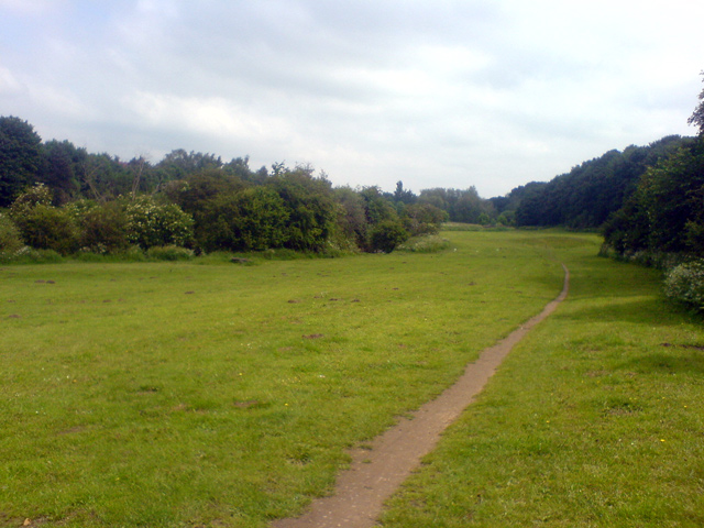
Image: © James Hill Taken: 4 Jun 2007
This area, that I know as "The Dykes", runs alongside the River Maun. It looks more like a flood plain, although I personally have never seen it flooded.
Images are licensed for reuse under creativecommons.org/licenses/by-sa/2.0
Image Location
Latitude
53.158611
Longitude
-1.181002