Robin Hood Terrace
Introduction
The photograph on this page of Robin Hood Terrace by John Sutton as part of the Geograph project.
The Geograph project started in 2005 with the aim of publishing, organising and preserving representative images for every square kilometre of Great Britain, Ireland and the Isle of Man.

There are currently over 7.5m images from over 14,400 individuals and you can help contribute to the project by visiting https://www.geograph.org.uk
Robin Hood Terrace
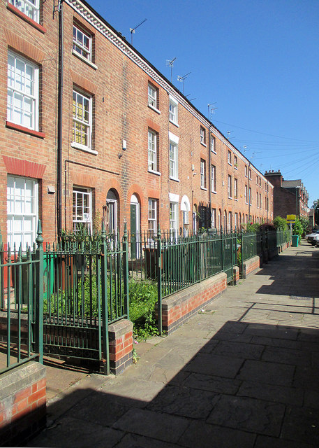
Image: © John Sutton Taken: 30 Jun 2015
Looking north towards Harcourt Terrace and Lamartine Street. Robin Hood Terrace is a Grade II listed row built in the 1860s in the pleasingly plain style of the mid century - see http://www.britishlistedbuildings.co.uk/en-458530-1-to-20-robin-hood-terrace-#.VZWfDSiwHZY .
Images are licensed for reuse under creativecommons.org/licenses/by-sa/2.0
Image Location
Latitude
52.957226
Longitude
-1.139409