The River Teifi at Glanrhydypysgod
Introduction
The photograph on this page of The River Teifi at Glanrhydypysgod by William Hester as part of the Geograph project.
The Geograph project started in 2005 with the aim of publishing, organising and preserving representative images for every square kilometre of Great Britain, Ireland and the Isle of Man.

There are currently over 7.5m images from over 14,400 individuals and you can help contribute to the project by visiting https://www.geograph.org.uk
The River Teifi at Glanrhydypysgod
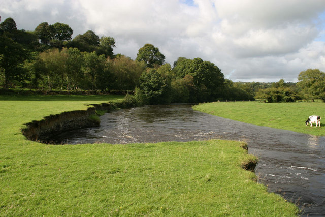
Image: © William Hester Taken: 14 Sep 2004
The steep bank is slowly eroding, sand martins nest here.
Images are licensed for reuse under creativecommons.org/licenses/by-sa/2.0
Image Location


Leaflet Map data © OpenStreetMap
Latitude
52.040939
Longitude
-4.231031