Albert Place, Aberystwyth
Introduction
The photograph on this page of Albert Place, Aberystwyth by Stephen McKay as part of the Geograph project.
The Geograph project started in 2005 with the aim of publishing, organising and preserving representative images for every square kilometre of Great Britain, Ireland and the Isle of Man.

There are currently over 7.5m images from over 14,400 individuals and you can help contribute to the project by visiting https://www.geograph.org.uk
Albert Place, Aberystwyth
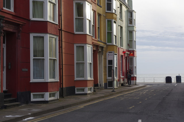
Image: © Stephen McKay Taken: 27 Jun 2015
Looking towards the seafront; improbably this short street forms part of the B4346 which loops around the town.
Images are licensed for reuse under creativecommons.org/licenses/by-sa/2.0
Image Location


Leaflet Map data © OpenStreetMap
Latitude
52.419575
Longitude
-4.08436