The A444 under the Stivichall Roundabout
Introduction
The photograph on this page of The A444 under the Stivichall Roundabout by Bill Boaden as part of the Geograph project.
The Geograph project started in 2005 with the aim of publishing, organising and preserving representative images for every square kilometre of Great Britain, Ireland and the Isle of Man.

There are currently over 7.5m images from over 14,400 individuals and you can help contribute to the project by visiting https://www.geograph.org.uk
The A444 under the Stivichall Roundabout
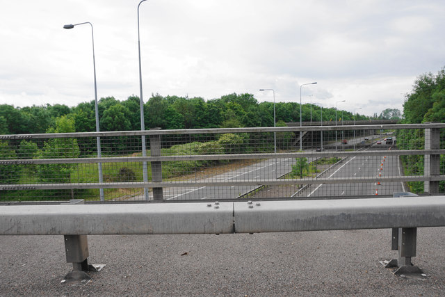
Image: © Bill Boaden Taken: 26 Jun 2015
There is a nice open bit of road I am trying to get to, but I am stuck in traffic on the roundabout. The road becomes the A46 south of the roundabout.
Images are licensed for reuse under creativecommons.org/licenses/by-sa/2.0
Image Location
Latitude
52.37828
Longitude
-1.499898