Across St Ann's
Introduction
The photograph on this page of Across St Ann's by John Sutton as part of the Geograph project.
The Geograph project started in 2005 with the aim of publishing, organising and preserving representative images for every square kilometre of Great Britain, Ireland and the Isle of Man.

There are currently over 7.5m images from over 14,400 individuals and you can help contribute to the project by visiting https://www.geograph.org.uk
Across St Ann's
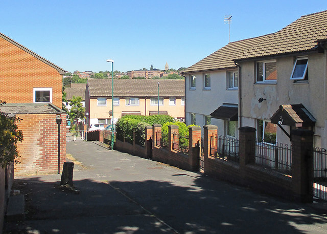
Image: © John Sutton Taken: 30 Jun 2015
Houses like these replaced the Victorian terraces of the St Ann's district in the 1970s, the City Council learning from the mistaken deck-access flats experiment of the 1960s (the flats at Balloon Wood, Old Basford and Hyson Green were demolished by the early 1980s and replaced by low-density housing). St Andrew's Church on Mansfield Road shows on the skyline, above the large textile factory on St Ann's Hill Road.
Images are licensed for reuse under creativecommons.org/licenses/by-sa/2.0
Image Location
Latitude
52.958938
Longitude
-1.13997