195 High Road, EN10
Introduction
The photograph on this page of 195 High Road, EN10 by Mike Quinn as part of the Geograph project.
The Geograph project started in 2005 with the aim of publishing, organising and preserving representative images for every square kilometre of Great Britain, Ireland and the Isle of Man.

There are currently over 7.5m images from over 14,400 individuals and you can help contribute to the project by visiting https://www.geograph.org.uk
195 High Road, EN10
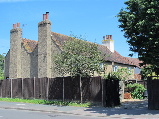
Image: © Mike Quinn Taken: 27 May 2015
This 17th C timber-framed building was once known as Broxbourne Farm; it is Grade II listed http://list.historicengland.org.uk/resultsingle.aspx?uid=1348408 .
Images are licensed for reuse under creativecommons.org/licenses/by-sa/2.0
Image Location
Latitude
51.738395
Longitude
-0.022367