Churchyard and former church, Woodfieldside, Blackwood
Introduction
The photograph on this page of Churchyard and former church, Woodfieldside, Blackwood by Jaggery as part of the Geograph project.
The Geograph project started in 2005 with the aim of publishing, organising and preserving representative images for every square kilometre of Great Britain, Ireland and the Isle of Man.

There are currently over 7.5m images from over 14,400 individuals and you can help contribute to the project by visiting https://www.geograph.org.uk
Churchyard and former church, Woodfieldside, Blackwood
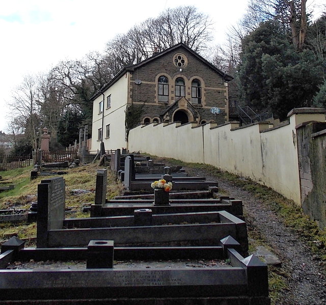
Image: © Jaggery Taken: 18 Feb 2014
Viewed from the edge of St David's Avenue. There is no name on the former church. http://www.geograph.org.uk/photo/4550356 I saw no other churches, former or in use, in St David's Avenue today, so it's likely that this used to be St David's church.
Images are licensed for reuse under creativecommons.org/licenses/by-sa/2.0
Image Location
Latitude
51.666732
Longitude
-3.189801