Boarded farmhouse at East Wideopen
Introduction
The photograph on this page of Boarded farmhouse at East Wideopen by Trevor Littlewood as part of the Geograph project.
The Geograph project started in 2005 with the aim of publishing, organising and preserving representative images for every square kilometre of Great Britain, Ireland and the Isle of Man.

There are currently over 7.5m images from over 14,400 individuals and you can help contribute to the project by visiting https://www.geograph.org.uk
Boarded farmhouse at East Wideopen
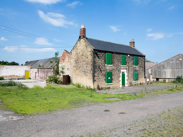
Image: © Trevor Littlewood Taken: 30 Jun 2015
East Wideopen is a farm lying just to the east of Wideopen. The house is boarded and the buildings fenced around for security but the property is apparently in good order (June 2015) and not abandoned.
Images are licensed for reuse under creativecommons.org/licenses/by-sa/2.0
Image Location
Latitude
55.048021
Longitude
-1.618087