Mapperley Road and St Andrew's Church spire
Introduction
The photograph on this page of Mapperley Road and St Andrew's Church spire by John Sutton as part of the Geograph project.
The Geograph project started in 2005 with the aim of publishing, organising and preserving representative images for every square kilometre of Great Britain, Ireland and the Isle of Man.

There are currently over 7.5m images from over 14,400 individuals and you can help contribute to the project by visiting https://www.geograph.org.uk
Mapperley Road and St Andrew's Church spire
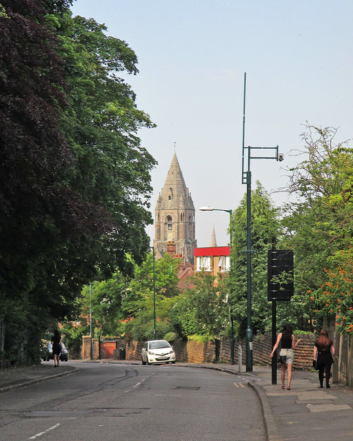
Image: © John Sutton Taken: 1 Jul 2015
A slightly foreshortened view towards Mansfield Road. St Andrew's Church dates from 1869-71 and is a prominent landmark on the north side of the city.
Images are licensed for reuse under creativecommons.org/licenses/by-sa/2.0
Image Location
Latitude
52.967268
Longitude
-1.148292