Daventry: Admirals Way
Introduction
The photograph on this page of Daventry: Admirals Way by Nigel Cox as part of the Geograph project.
The Geograph project started in 2005 with the aim of publishing, organising and preserving representative images for every square kilometre of Great Britain, Ireland and the Isle of Man.

There are currently over 7.5m images from over 14,400 individuals and you can help contribute to the project by visiting https://www.geograph.org.uk
Daventry: Admirals Way
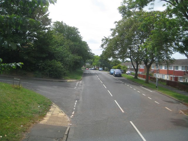
Image: © Nigel Cox Taken: 29 Jun 2015
This is the view looking south at the junction with Birkdale Close from the upper deck of a D1 bus bound for Northampton.
Images are licensed for reuse under creativecommons.org/licenses/by-sa/2.0
Image Location
Latitude
52.259831
Longitude
-1.146522