Bus stops at the turning for Low Marishes on A169
Introduction
The photograph on this page of Bus stops at the turning for Low Marishes on A169 by David Smith as part of the Geograph project.
The Geograph project started in 2005 with the aim of publishing, organising and preserving representative images for every square kilometre of Great Britain, Ireland and the Isle of Man.

There are currently over 7.5m images from over 14,400 individuals and you can help contribute to the project by visiting https://www.geograph.org.uk
Bus stops at the turning for Low Marishes on A169
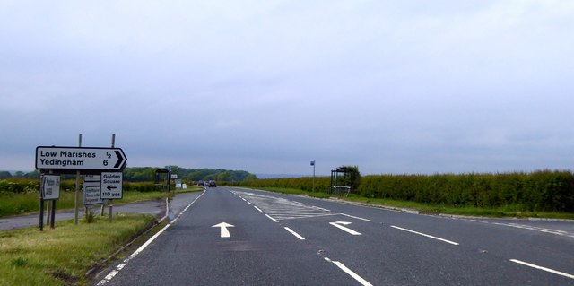
Image: © David Smith Taken: 13 Jun 2015
The bus stops and shelters serve the villages to the east of the road. This junction is at the northern end of a stretch of the A169 which has been realigned; the old road is visible on the left.
Images are licensed for reuse under creativecommons.org/licenses/by-sa/2.0
Image Location
Latitude
54.180431
Longitude
-0.761803