The eastern edge of Fryent Country Park
Introduction
The photograph on this page of The eastern edge of Fryent Country Park by Marathon as part of the Geograph project.
The Geograph project started in 2005 with the aim of publishing, organising and preserving representative images for every square kilometre of Great Britain, Ireland and the Isle of Man.

There are currently over 7.5m images from over 14,400 individuals and you can help contribute to the project by visiting https://www.geograph.org.uk
The eastern edge of Fryent Country Park
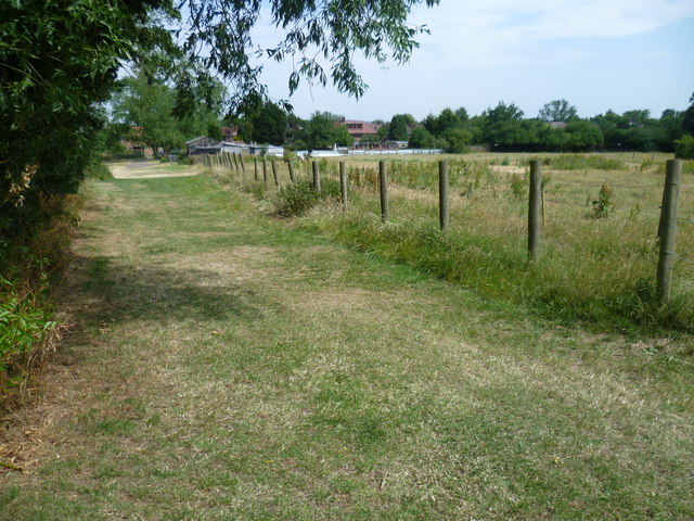
Image: © Marathon Taken: 1 Jul 2015
Fryent Country Park has been kept to show how much of Middlesex looked before the suburban expansion of London in the 1920s and 1930s. There are 23 hay meadows and seven miles of hedgerows, four woods and 20 ponds. Fryent Country Park is bisected by Fryent Way. The part of the Country Park to the east of Fryent Way is dominated by Gotfords Hill and the view from the open top of the hill includes the wooded Barn Hill on the other side of Fryent Way, the Wembley Arch, Harrow-on-the-Hill and the hills to the north. It is also on the Capital Ring. The hedgerows on this side of Fryent Country Park, which is in the former parish of Kingsbury, were cut out of the original woodland by the process of 'assarting'. As each farmer made clearings in the woodland, so the woodland was pushed back until only the hedges remained. This gave rise to the variety of field shapes and sizes that can be seen today. On the other hand the hedges to the west of Fryent Way on the Barn Hill side were mostly planted. This is below the eastern edge of Gotfords Hill, looking across a pony paddock on the right to the backs of the houses in Slough Lane.
Images are licensed for reuse under creativecommons.org/licenses/by-sa/2.0
Image Location


Leaflet Map data © OpenStreetMap
Latitude
51.57897
Longitude
-0.267726