Lower Northcroft/Upper Northcroft
Introduction
The photograph on this page of Lower Northcroft/Upper Northcroft by Simon Carey as part of the Geograph project.
The Geograph project started in 2005 with the aim of publishing, organising and preserving representative images for every square kilometre of Great Britain, Ireland and the Isle of Man.

There are currently over 7.5m images from over 14,400 individuals and you can help contribute to the project by visiting https://www.geograph.org.uk
Lower Northcroft/Upper Northcroft
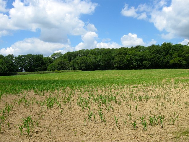
Image: © Simon Carey Taken: 27 Jun 2015
The name of the fields according to Ardingly's 1840 tithe map that have been merged to form a larger unit. Lower Northcroft was to the north adjacent to Five Acre Wood whilst Upper Northcroft was to the south next to Mill Lane. The eastern side of the former fields have been lost to the construction of a house called Winden.
Images are licensed for reuse under creativecommons.org/licenses/by-sa/2.0
Image Location
Latitude
51.058522
Longitude
-0.108273