Knowlhill, Milton Keynes
Introduction
The photograph on this page of Knowlhill, Milton Keynes by M J Richardson as part of the Geograph project.
The Geograph project started in 2005 with the aim of publishing, organising and preserving representative images for every square kilometre of Great Britain, Ireland and the Isle of Man.

There are currently over 7.5m images from over 14,400 individuals and you can help contribute to the project by visiting https://www.geograph.org.uk
Knowlhill, Milton Keynes
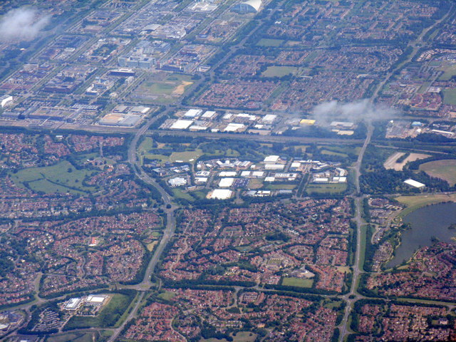
Image: © M J Richardson Taken: 26 Jun 2015
Industrial and housing estates. The main road across the image is the A5 [Watling Street]; below it, at the RH edge, is part of The National Bowl and Furzton Lake.
Images are licensed for reuse under creativecommons.org/licenses/by-sa/2.0
Image Location
Latitude
52.024091
Longitude
-0.769892