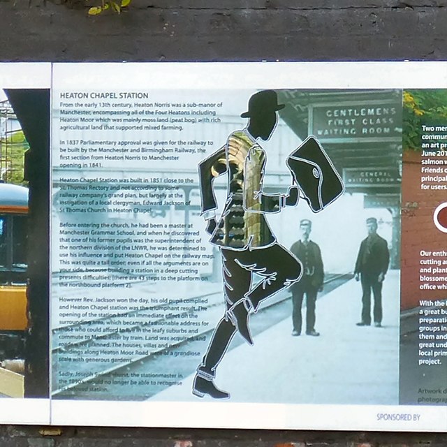
Running Man: Panel 15
Introduction
The photograph on this page of Running Man: Panel 15 by Gerald England as part of the Geograph project.
The Geograph project started in 2005 with the aim of publishing, organising and preserving representative images for every square kilometre of Great Britain, Ireland and the Isle of Man.
There are currently over 7.5m images from over 14,400 individuals and you can help contribute to the project by visiting https://www.geograph.org.uk

Image: © Gerald England Taken: 25 Jun 2015
Panel 15 informs us: From the early 13th century, Heaton Norris was a sub-manor of Manchester, encompassing all of the Four Heatons including Heaton Moor which was mainly moss land (peat bog) with rich agricultural land that supported mixed farming. In 1837 Parliamentary approval was given for the railway to by built by the Manchester and Birmingham Railway, the first section from Heaton Norris to Manchester opening in 1841. Heaton Chapel Station was built in 1851 close to the St. Thomas Rectory and not according to some railway company's grand plan but largely at the instigation of a local clergyman, Edward Jackson of St Thomas Church in Heaton Chapel. Before entering the church, he had been a master at Manchester Grammar School and when he discovered that one of his former pupils was the superintendent of the northern division of the LNWR, he was determined to use his influence and put Heaton Chapel on the railway map. This was quite a tall order: even if all the arguments are on your side, because building a station in a deep cutting presents difficulties, (there are 43 steps to the platform on northbound platform 2). However Rev. Jackson won the day, his old pupil complied and Heaton Chapel was the triumphant result. The opening of the station had am immediate effect on the surrounding area which became a fashionable address for those who could afford to live in the leafy suburbs and commute to Manchester by train. Land was acquired and roads were planned. The houses, villas and new buildings along Heaton Moor Road were of a grandiose scale with generous gardens. Sadly, Joseph Swindlehurst, the stationmaster in the 1890s would no longer be able to recognise his beloved station.

