Stonar Cut and the A256 crossing
Introduction
The photograph on this page of Stonar Cut and the A256 crossing by Nick Smith as part of the Geograph project.
The Geograph project started in 2005 with the aim of publishing, organising and preserving representative images for every square kilometre of Great Britain, Ireland and the Isle of Man.

There are currently over 7.5m images from over 14,400 individuals and you can help contribute to the project by visiting https://www.geograph.org.uk
Stonar Cut and the A256 crossing
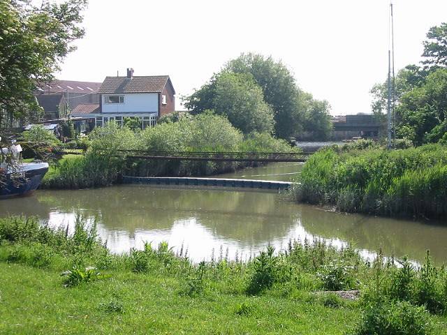
Image: © Nick Smith Taken: 2 Jun 2007
Opened in 1776 the Stonar Cut formed a shortcut across the neck of the Sandwich Loop on the River Stour so that floodwater caused by high rainfall or a high spring tide could take the shortest route to the sea without flooding Sandwich. Its sluice gates were renewed in 1999 and for 175 years the gates were manned fulltime.
Images are licensed for reuse under creativecommons.org/licenses/by-sa/2.0
Image Location
Latitude
51.301692
Longitude
1.34663