House backs, Otley
Introduction
The photograph on this page of House backs, Otley by Paul Harrop as part of the Geograph project.
The Geograph project started in 2005 with the aim of publishing, organising and preserving representative images for every square kilometre of Great Britain, Ireland and the Isle of Man.

There are currently over 7.5m images from over 14,400 individuals and you can help contribute to the project by visiting https://www.geograph.org.uk
House backs, Otley
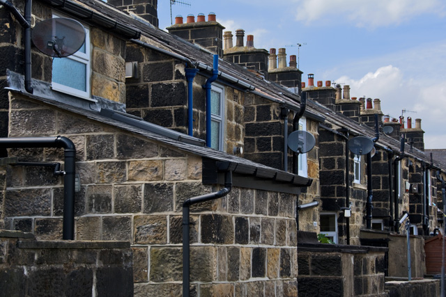
Image: © Paul Harrop Taken: 29 Jun 2015
Backs of a row of terraced housing, off Burras Lane. The name of the street is Mount Pisgah, which is derived from the Biblical tale of Moses and the location from which he first saw the Promised Land. No sign of the promised land here, but you can just about see Waitrose.
Images are licensed for reuse under creativecommons.org/licenses/by-sa/2.0
Image Location
Latitude
53.903661
Longitude
-1.696932