Decrepit shed near footpath 351Sy
Introduction
The photograph on this page of Decrepit shed near footpath 351Sy by Robin Webster as part of the Geograph project.
The Geograph project started in 2005 with the aim of publishing, organising and preserving representative images for every square kilometre of Great Britain, Ireland and the Isle of Man.

There are currently over 7.5m images from over 14,400 individuals and you can help contribute to the project by visiting https://www.geograph.org.uk
Decrepit shed near footpath 351Sy
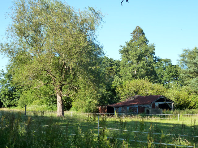
Image: © Robin Webster Taken: 30 Jun 2015
This may be associated with the house called The Dell, which is hidden in the trees beyond. Part of the field was grazed by horses.
Images are licensed for reuse under creativecommons.org/licenses/by-sa/2.0
Image Location
Latitude
51.137607
Longitude
-0.190095