The council refuse site on the E bank of the River Stour
Introduction
The photograph on this page of The council refuse site on the E bank of the River Stour by Nick Smith as part of the Geograph project.
The Geograph project started in 2005 with the aim of publishing, organising and preserving representative images for every square kilometre of Great Britain, Ireland and the Isle of Man.

There are currently over 7.5m images from over 14,400 individuals and you can help contribute to the project by visiting https://www.geograph.org.uk
The council refuse site on the E bank of the River Stour
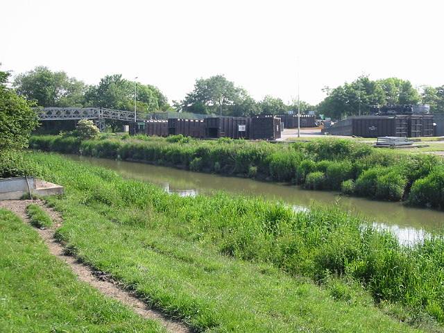
Image: © Nick Smith Taken: 2 Jun 2007
The council tip is located off the A256 and originally the waste was taken across the bridge over the river and dumped in a landfill site.
Images are licensed for reuse under creativecommons.org/licenses/by-sa/2.0
Image Location


Leaflet Map data © OpenStreetMap
Latitude
51.298497
Longitude
1.345106