St.Mary the Virgin, Byfleet
Introduction
The photograph on this page of St.Mary the Virgin, Byfleet by Peter Trimming as part of the Geograph project.
The Geograph project started in 2005 with the aim of publishing, organising and preserving representative images for every square kilometre of Great Britain, Ireland and the Isle of Man.

There are currently over 7.5m images from over 14,400 individuals and you can help contribute to the project by visiting https://www.geograph.org.uk
St.Mary the Virgin, Byfleet
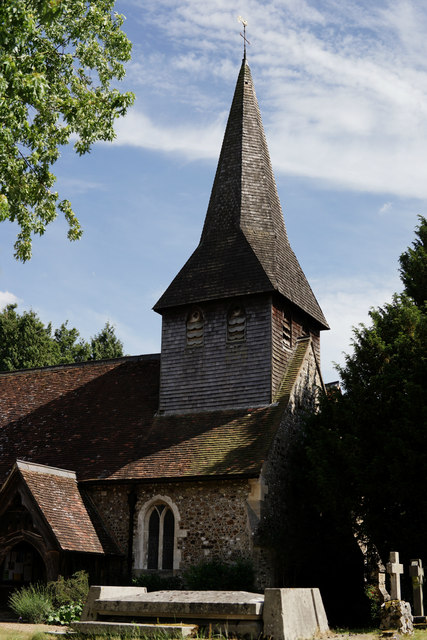
Image: © Peter Trimming Taken: 24 Jun 2015
Originally located on the southern edge of Byfleet, but now almost surrounded by housing.
Images are licensed for reuse under creativecommons.org/licenses/by-sa/2.0
Image Location
Latitude
51.332772
Longitude
-0.475837