Luton from the air
Introduction
The photograph on this page of Luton from the air by M J Richardson as part of the Geograph project.
The Geograph project started in 2005 with the aim of publishing, organising and preserving representative images for every square kilometre of Great Britain, Ireland and the Isle of Man.

There are currently over 7.5m images from over 14,400 individuals and you can help contribute to the project by visiting https://www.geograph.org.uk
Luton from the air
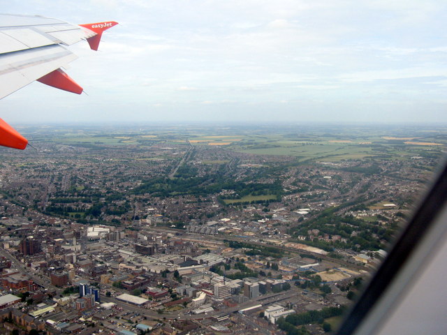
Image: © M J Richardson Taken: 29 Jun 2015
Looking north just after take-off from the airport. The A505 passing round the town centre and the Midland Line railway can just be made out.
Images are licensed for reuse under creativecommons.org/licenses/by-sa/2.0
Image Location
Latitude
51.877863
Longitude
-0.420865