Farley Hill and the M1
Introduction
The photograph on this page of Farley Hill and the M1 by M J Richardson as part of the Geograph project.
The Geograph project started in 2005 with the aim of publishing, organising and preserving representative images for every square kilometre of Great Britain, Ireland and the Isle of Man.

There are currently over 7.5m images from over 14,400 individuals and you can help contribute to the project by visiting https://www.geograph.org.uk
Farley Hill and the M1
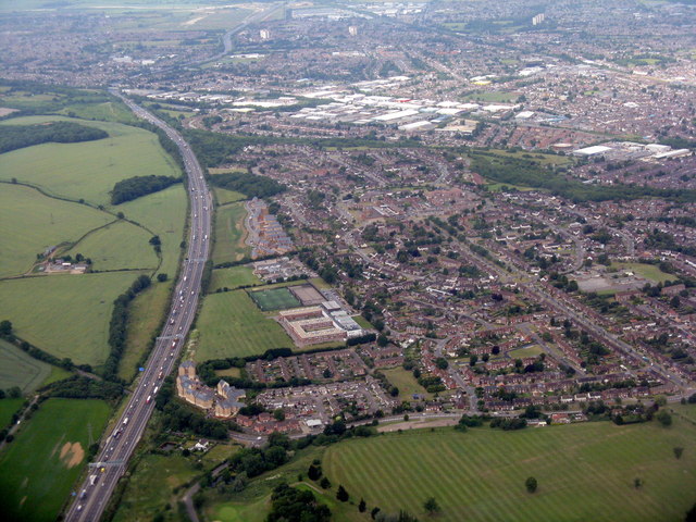
Image: © M J Richardson Taken: 29 Jun 2015
Looking northwest, just after take-off from Luton Airport. Barnfield Academy is between the M1 and the houses; Farley Junior School is on the edge to the right.
Images are licensed for reuse under creativecommons.org/licenses/by-sa/2.0
Image Location
Latitude
51.86905
Longitude
-0.434246