An undeveloped field in Whiteley, between Bader Way and Lady Betty's Drive
Introduction
The photograph on this page of An undeveloped field in Whiteley, between Bader Way and Lady Betty's Drive by Peter Facey as part of the Geograph project.
The Geograph project started in 2005 with the aim of publishing, organising and preserving representative images for every square kilometre of Great Britain, Ireland and the Isle of Man.

There are currently over 7.5m images from over 14,400 individuals and you can help contribute to the project by visiting https://www.geograph.org.uk
An undeveloped field in Whiteley, between Bader Way and Lady Betty's Drive
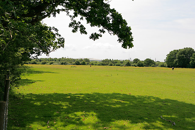
Image: © Peter Facey Taken: 3 Jun 2007
This is on top of a hill.
Images are licensed for reuse under creativecommons.org/licenses/by-sa/2.0
Image Location
Latitude
50.871742
Longitude
-1.242464