Synagogue, Lansdowne Road
Introduction
The photograph on this page of Synagogue, Lansdowne Road by Simon Carey as part of the Geograph project.
The Geograph project started in 2005 with the aim of publishing, organising and preserving representative images for every square kilometre of Great Britain, Ireland and the Isle of Man.

There are currently over 7.5m images from over 14,400 individuals and you can help contribute to the project by visiting https://www.geograph.org.uk
Synagogue, Lansdowne Road
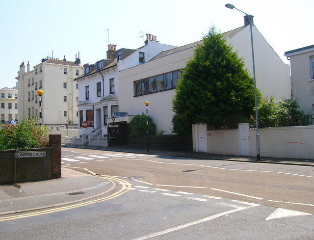
Image: © Simon Carey Taken: 3 Jun 2007
One of three in this grid square and a reminder of the influence of the 19th century landowner, Sir Isaac Goldsmit who developed this area.
Images are licensed for reuse under creativecommons.org/licenses/by-sa/2.0
Image Location


Leaflet Map data © OpenStreetMap
Latitude
50.827669
Longitude
-0.159225