Playground next to the North Downs Way
Introduction
The photograph on this page of Playground next to the North Downs Way by Marathon as part of the Geograph project.
The Geograph project started in 2005 with the aim of publishing, organising and preserving representative images for every square kilometre of Great Britain, Ireland and the Isle of Man.

There are currently over 7.5m images from over 14,400 individuals and you can help contribute to the project by visiting https://www.geograph.org.uk
Playground next to the North Downs Way
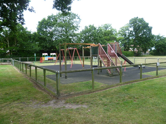
Image: © Marathon Taken: 28 Jun 2015
The North Downs Way passes through this recreation ground as it leaves Chartham Hatch and enters Howfield Wood.
Images are licensed for reuse under creativecommons.org/licenses/by-sa/2.0
Image Location
Latitude
51.27284
Longitude
1.015002