Downstream along the Afon Teifi, Cardigan
Introduction
The photograph on this page of Downstream along the Afon Teifi, Cardigan by Jaggery as part of the Geograph project.
The Geograph project started in 2005 with the aim of publishing, organising and preserving representative images for every square kilometre of Great Britain, Ireland and the Isle of Man.

There are currently over 7.5m images from over 14,400 individuals and you can help contribute to the project by visiting https://www.geograph.org.uk
Downstream along the Afon Teifi, Cardigan
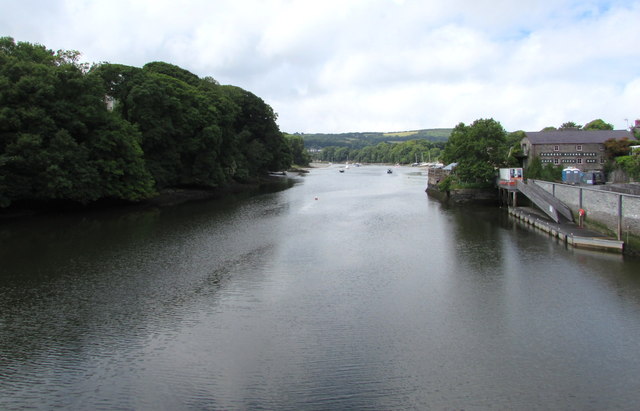
Image: © Jaggery Taken: 26 Jun 2015
From this http://www.geograph.org.uk/photo/4546578 footbridge alongside Cardigan Bridge. Ahead, the river widens into an estuary, passing St Dogmaels and the seaside resort of Poppit Sands on its southern bank and Gwbert on its northern bank, before entering the sea in Cardigan Bay. The landing stage on the right is below Prince Charles Quay. http://www.geograph.org.uk/photo/4546567
Images are licensed for reuse under creativecommons.org/licenses/by-sa/2.0
Image Location


Leaflet Map data © OpenStreetMap
Latitude
52.081566
Longitude
-4.664658