Down the dip on Morkery Lane
Introduction
The photograph on this page of Down the dip on Morkery Lane by Marathon as part of the Geograph project.
The Geograph project started in 2005 with the aim of publishing, organising and preserving representative images for every square kilometre of Great Britain, Ireland and the Isle of Man.

There are currently over 7.5m images from over 14,400 individuals and you can help contribute to the project by visiting https://www.geograph.org.uk
Down the dip on Morkery Lane
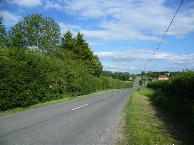
Image: © Marathon Taken: 27 Jun 2015
This is by the entrance to Angel Wells Farm, looking in the direction of Castle Bytham.
Images are licensed for reuse under creativecommons.org/licenses/by-sa/2.0
Image Location
Latitude
52.760661
Longitude
-0.559404