The Laurels Day Nursery, Taffs Well
Introduction
The photograph on this page of The Laurels Day Nursery, Taffs Well by Jaggery as part of the Geograph project.
The Geograph project started in 2005 with the aim of publishing, organising and preserving representative images for every square kilometre of Great Britain, Ireland and the Isle of Man.

There are currently over 7.5m images from over 14,400 individuals and you can help contribute to the project by visiting https://www.geograph.org.uk
The Laurels Day Nursery, Taffs Well
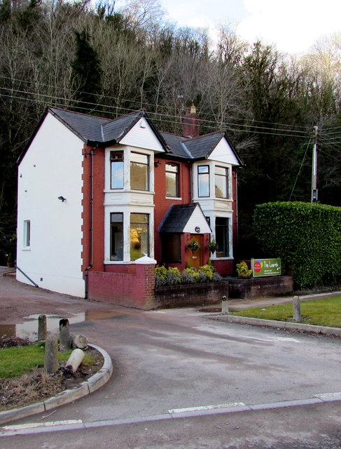
Image: © Jaggery Taken: 3 Mar 2015
On the west side of the B4262 near Ynys Bridge over the River Taff, the Laurels Day Nursery is in a Victorian house which was converted to a nursery in 2011.
Images are licensed for reuse under creativecommons.org/licenses/by-sa/2.0
Image Location
Latitude
51.534788
Longitude
-3.26205