Tenby Road postbox and phonebox, Cardigan
Introduction
The photograph on this page of Tenby Road postbox and phonebox, Cardigan by Jaggery as part of the Geograph project.
The Geograph project started in 2005 with the aim of publishing, organising and preserving representative images for every square kilometre of Great Britain, Ireland and the Isle of Man.

There are currently over 7.5m images from over 14,400 individuals and you can help contribute to the project by visiting https://www.geograph.org.uk
Tenby Road postbox and phonebox, Cardigan
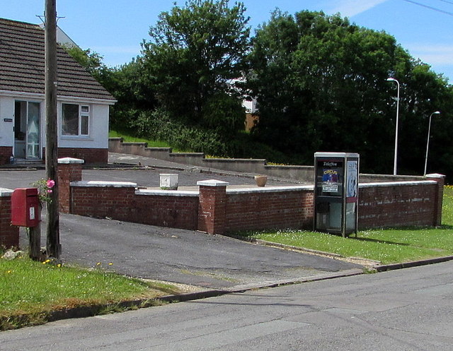
Image: © Jaggery Taken: 26 Jun 2015
Tenby Road is dead-end road extending from a path to the A487 at its SE end, to the B4546 at its NW end.
Images are licensed for reuse under creativecommons.org/licenses/by-sa/2.0
Image Location
Latitude
52.077427
Longitude
-4.656822