Cae'r Gog, Aberystwyth
Introduction
The photograph on this page of Cae'r Gog, Aberystwyth by Dylan Moore as part of the Geograph project.
The Geograph project started in 2005 with the aim of publishing, organising and preserving representative images for every square kilometre of Great Britain, Ireland and the Isle of Man.

There are currently over 7.5m images from over 14,400 individuals and you can help contribute to the project by visiting https://www.geograph.org.uk
Cae'r Gog, Aberystwyth
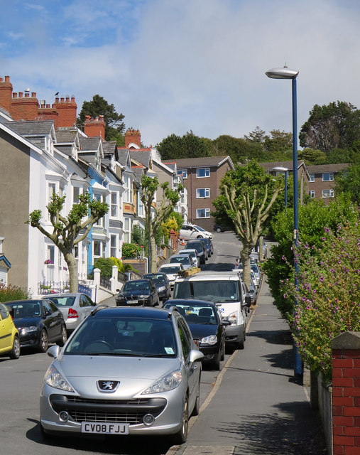
Image: © Dylan Moore Taken: 26 Jun 2015
"Cuckoo Field". Hospital staff accommodation is beyond. A path leads from the end up to the National Library.
Images are licensed for reuse under creativecommons.org/licenses/by-sa/2.0
Image Location
Latitude
52.415235
Longitude
-4.071391