Bedlar's Green
Introduction
The photograph on this page of Bedlar's Green by Marathon as part of the Geograph project.
The Geograph project started in 2005 with the aim of publishing, organising and preserving representative images for every square kilometre of Great Britain, Ireland and the Isle of Man.

There are currently over 7.5m images from over 14,400 individuals and you can help contribute to the project by visiting https://www.geograph.org.uk
Bedlar's Green
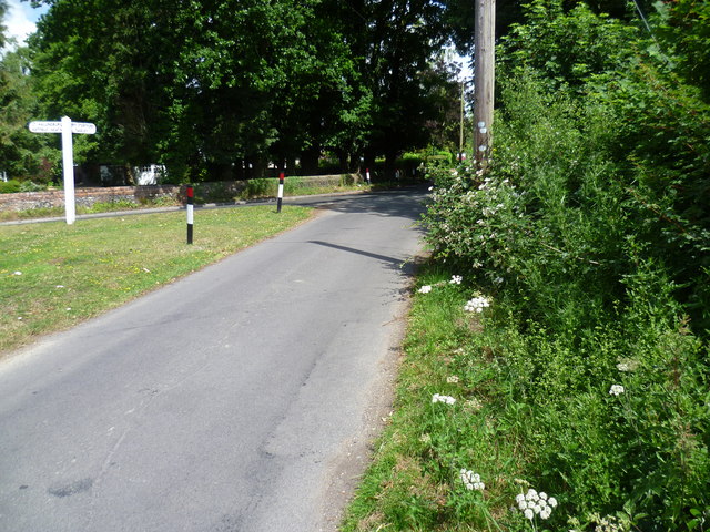
Image: © Marathon Taken: 27 Jun 2015
This view is from The Street, which is a no through road leading to Hallingbury Street. The signpost stands on a small triangular green. Church Road is to the left leading to Great Hallingbury.
Images are licensed for reuse under creativecommons.org/licenses/by-sa/2.0
Image Location
Latitude
51.858683
Longitude
0.211491