Llandre / Llanfihangel-genau'r-gwyn: houses at the south end of the village, from the railway
Introduction
The photograph on this page of Llandre / Llanfihangel-genau'r-gwyn: houses at the south end of the village, from the railway by Christopher Hilton as part of the Geograph project.
The Geograph project started in 2005 with the aim of publishing, organising and preserving representative images for every square kilometre of Great Britain, Ireland and the Isle of Man.

There are currently over 7.5m images from over 14,400 individuals and you can help contribute to the project by visiting https://www.geograph.org.uk
Llandre / Llanfihangel-genau'r-gwyn: houses at the south end of the village, from the railway
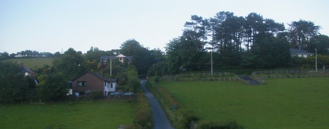
Image: © Christopher Hilton Taken: 8 Jun 2015
Presumably, in the fullness of time, the field on the right will be developed for housing: the short stub of road coming down from the main road into the field suggests that will be its ultimate fate.
Images are licensed for reuse under creativecommons.org/licenses/by-sa/2.0
Image Location
Latitude
52.458317
Longitude
-4.022897