St Mary Street towards Cardigan town centre
Introduction
The photograph on this page of St Mary Street towards Cardigan town centre by Jaggery as part of the Geograph project.
The Geograph project started in 2005 with the aim of publishing, organising and preserving representative images for every square kilometre of Great Britain, Ireland and the Isle of Man.

There are currently over 7.5m images from over 14,400 individuals and you can help contribute to the project by visiting https://www.geograph.org.uk
St Mary Street towards Cardigan town centre
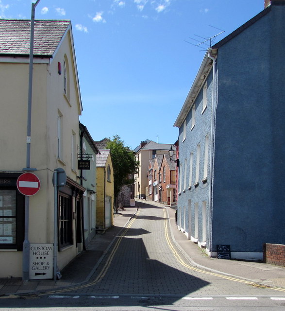
Image: © Jaggery Taken: 26 Jun 2015
Looking west along St Mary Street across Carrier's Lane near Morgan Street. Double yellow lines on both sides of the street - no parking at any time.
Images are licensed for reuse under creativecommons.org/licenses/by-sa/2.0
Image Location


Leaflet Map data © OpenStreetMap
Latitude
52.082291
Longitude
-4.660468