Small roadside pond opposite Batt's Farm
Introduction
The photograph on this page of Small roadside pond opposite Batt's Farm by Dr Neil Clifton as part of the Geograph project.
The Geograph project started in 2005 with the aim of publishing, organising and preserving representative images for every square kilometre of Great Britain, Ireland and the Isle of Man.

There are currently over 7.5m images from over 14,400 individuals and you can help contribute to the project by visiting https://www.geograph.org.uk
Small roadside pond opposite Batt's Farm
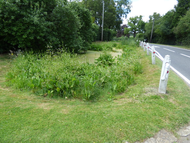
Image: © Dr Neil Clifton Taken: 27 Jun 2015
This pond is on the same side of the road (S) as Blank's Farm, and opposite to Batt's Farm. It has escaped the attention of OS, even at 1:1250, no doubt due to the extensive use of aerial survey methods, as the pond is almost covered with green vegetation. The older chain surveys would not have missed it.
Images are licensed for reuse under creativecommons.org/licenses/by-sa/2.0
Image Location
Latitude
51.176844
Longitude
-0.263097