Ffwrwm Ishta
Introduction
The photograph on this page of Ffwrwm Ishta by Alan Richards as part of the Geograph project.
The Geograph project started in 2005 with the aim of publishing, organising and preserving representative images for every square kilometre of Great Britain, Ireland and the Isle of Man.

There are currently over 7.5m images from over 14,400 individuals and you can help contribute to the project by visiting https://www.geograph.org.uk
Ffwrwm Ishta
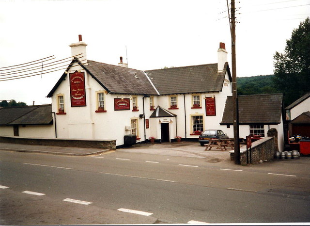
Image: © Alan Richards Taken: 28 Jul 1998
Tafarn Ffwrwm Ishta yn 1998. Mae'r lle ers y pryd hynny wedi cau fel tafarn. Ffwrwm Ishta Public House (trans. sitting bench) in 1998. The premises has since closed as a hostelry.
Images are licensed for reuse under creativecommons.org/licenses/by-sa/2.0
Image Location
Latitude
51.596115
Longitude
-3.138723