St Paul's Church
Introduction
The photograph on this page of St Paul's Church by Keith Edkins as part of the Geograph project.
The Geograph project started in 2005 with the aim of publishing, organising and preserving representative images for every square kilometre of Great Britain, Ireland and the Isle of Man.

There are currently over 7.5m images from over 14,400 individuals and you can help contribute to the project by visiting https://www.geograph.org.uk
St Paul's Church
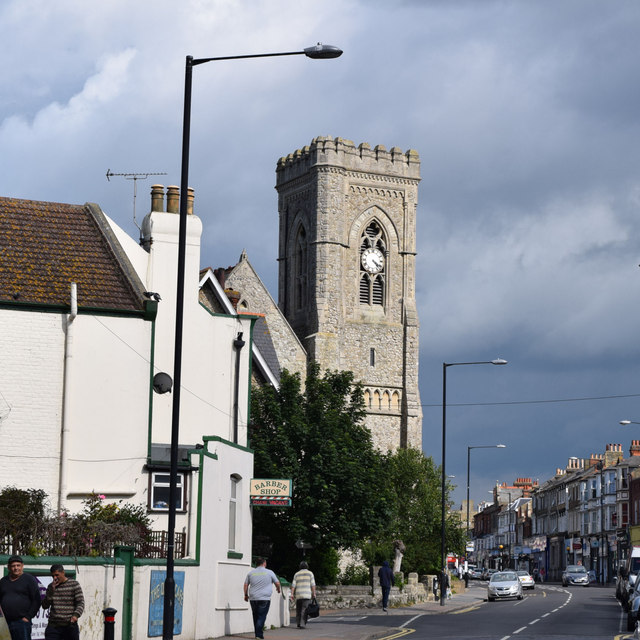
Image: © Keith Edkins Taken: 22 Jun 2015
The church in Northdown Road was built in 1873-4, the tower is later but before 1897
Images are licensed for reuse under creativecommons.org/licenses/by-sa/2.0
Image Location
Latitude
51.388951
Longitude
1.393253