River Stort Navigation
Introduction
The photograph on this page of River Stort Navigation by Robin Webster as part of the Geograph project.
The Geograph project started in 2005 with the aim of publishing, organising and preserving representative images for every square kilometre of Great Britain, Ireland and the Isle of Man.

There are currently over 7.5m images from over 14,400 individuals and you can help contribute to the project by visiting https://www.geograph.org.uk
River Stort Navigation
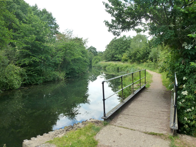
Image: © Robin Webster Taken: 25 Jun 2015
Looking upstream, with a rather important tributary coming in under the towpath bridge. Important, as it forms the Hertfordshire - Essex border, which here deviates from the main river to include all of Pig Lane in Hertfordshire, which is across the bridge.
Images are licensed for reuse under creativecommons.org/licenses/by-sa/2.0
Image Location
Latitude
51.849484
Longitude
0.164576