St Johns Primary School
Introduction
The photograph on this page of St Johns Primary School by John M as part of the Geograph project.
The Geograph project started in 2005 with the aim of publishing, organising and preserving representative images for every square kilometre of Great Britain, Ireland and the Isle of Man.

There are currently over 7.5m images from over 14,400 individuals and you can help contribute to the project by visiting https://www.geograph.org.uk
St Johns Primary School
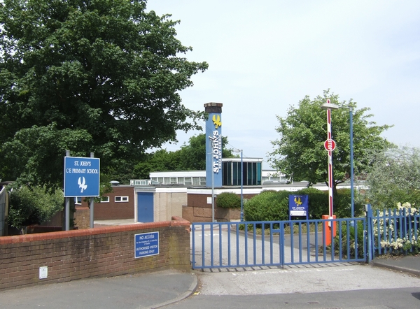
Image: © John M Taken: 3 Jun 2007
The primary school in the former mining village outgrew the old buildings as new estates were built. A further building boom has recently taken place with commuter homes built on brownfield sites.
Images are licensed for reuse under creativecommons.org/licenses/by-sa/2.0
Image Location
Latitude
52.631669
Longitude
-2.05817