Godley and Hyde Boundary
Introduction
The photograph on this page of Godley and Hyde Boundary by Gerald England as part of the Geograph project.
The Geograph project started in 2005 with the aim of publishing, organising and preserving representative images for every square kilometre of Great Britain, Ireland and the Isle of Man.

There are currently over 7.5m images from over 14,400 individuals and you can help contribute to the project by visiting https://www.geograph.org.uk
Godley and Hyde Boundary
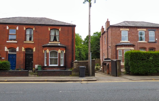
Image: © Gerald England Taken: 23 Jun 2015
In front of the wall of #196 Mottram Road almost hidden by a wheelie-bin is the boundary stone Image between the Townships of Godley and Hyde.
Images are licensed for reuse under creativecommons.org/licenses/by-sa/2.0
Image Location
Latitude
53.451292
Longitude
-2.06471