The Old Vicarage
Introduction
The photograph on this page of The Old Vicarage by John M as part of the Geograph project.
The Geograph project started in 2005 with the aim of publishing, organising and preserving representative images for every square kilometre of Great Britain, Ireland and the Isle of Man.

There are currently over 7.5m images from over 14,400 individuals and you can help contribute to the project by visiting https://www.geograph.org.uk
The Old Vicarage
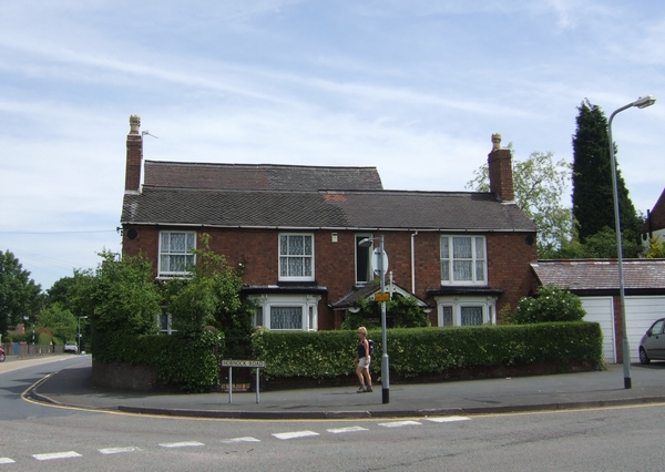
Image: © John M Taken: 3 Jun 2007
There was originally another church on the other side of Hobnock Road. Possibly there would have been another chimney in the centre of the building
Images are licensed for reuse under creativecommons.org/licenses/by-sa/2.0
Image Location
Latitude
52.63095
Longitude
-2.058317