Radnor Lane
Introduction
The photograph on this page of Radnor Lane by Stefan Czapski as part of the Geograph project.
The Geograph project started in 2005 with the aim of publishing, organising and preserving representative images for every square kilometre of Great Britain, Ireland and the Isle of Man.

There are currently over 7.5m images from over 14,400 individuals and you can help contribute to the project by visiting https://www.geograph.org.uk
Radnor Lane
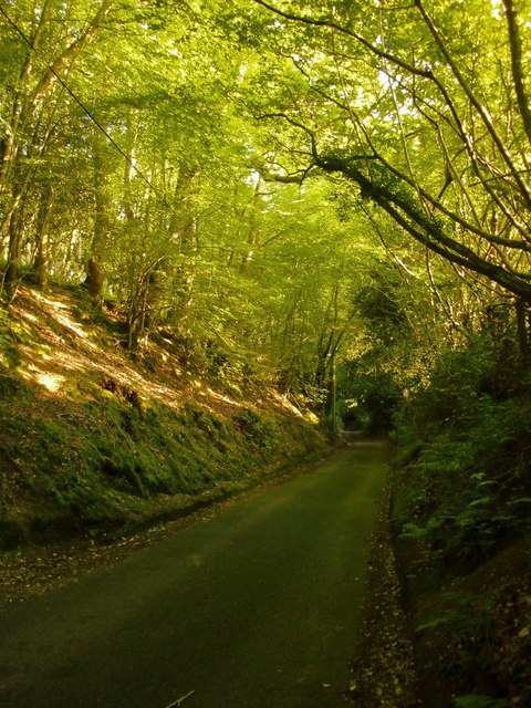
Image: © Stefan Czapski Taken: 25 Jun 2015
A hollow lane, one of many in the Greensand country. This one leads uphill to the Holmbury youth hostel (and a useful public car-park not marked on OS maps).
Images are licensed for reuse under creativecommons.org/licenses/by-sa/2.0
Image Location
Latitude
51.194714
Longitude
-0.419857