Hospital Lane
Introduction
The photograph on this page of Hospital Lane by John Stephen as part of the Geograph project.
The Geograph project started in 2005 with the aim of publishing, organising and preserving representative images for every square kilometre of Great Britain, Ireland and the Isle of Man.

There are currently over 7.5m images from over 14,400 individuals and you can help contribute to the project by visiting https://www.geograph.org.uk
Hospital Lane
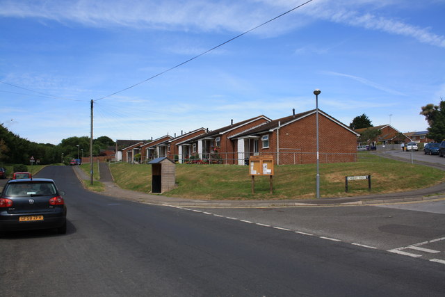
Image: © John Stephen Taken: 24 Jun 2015
View up Hospital Lane in the direction of the hospital with Cherry Tree running off to the right. Allington Hill slopes up on the left side of the lane.
Images are licensed for reuse under creativecommons.org/licenses/by-sa/2.0
Image Location


Leaflet Map data © OpenStreetMap
Latitude
50.740112
Longitude
-2.767211