Ordnance Survey Cut Mark, Trinity Road
Introduction
The photograph on this page of Ordnance Survey Cut Mark, Trinity Road by Stephen Armstrong as part of the Geograph project.
The Geograph project started in 2005 with the aim of publishing, organising and preserving representative images for every square kilometre of Great Britain, Ireland and the Isle of Man.

There are currently over 7.5m images from over 14,400 individuals and you can help contribute to the project by visiting https://www.geograph.org.uk
Ordnance Survey Cut Mark, Trinity Road
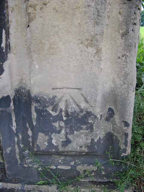
Image: © Stephen Armstrong Taken: 23 Jun 2015
On a stone post on the south side of Trinity Road, approximately half way along the road.
Images are licensed for reuse under creativecommons.org/licenses/by-sa/2.0
Image Location
Latitude
53.787146
Longitude
-1.762885