Temporary closure of Sandgate Road
Introduction
The photograph on this page of Temporary closure of Sandgate Road by John Baker as part of the Geograph project.
The Geograph project started in 2005 with the aim of publishing, organising and preserving representative images for every square kilometre of Great Britain, Ireland and the Isle of Man.

There are currently over 7.5m images from over 14,400 individuals and you can help contribute to the project by visiting https://www.geograph.org.uk
Temporary closure of Sandgate Road
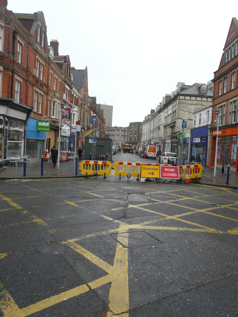
Image: © John Baker Taken: 2 Jun 2015
I was standing on a traffic island between Trinity Gardens (to the left) and Clifton Road (to the right). In the distance, a lorry marks the spot where a hole had been dug in the road.
Images are licensed for reuse under creativecommons.org/licenses/by-sa/2.0
Image Location
Latitude
51.076533
Longitude
1.169562