Unnamed watercourse
Introduction
The photograph on this page of Unnamed watercourse by Robert Ashby as part of the Geograph project.
The Geograph project started in 2005 with the aim of publishing, organising and preserving representative images for every square kilometre of Great Britain, Ireland and the Isle of Man.

There are currently over 7.5m images from over 14,400 individuals and you can help contribute to the project by visiting https://www.geograph.org.uk
Unnamed watercourse
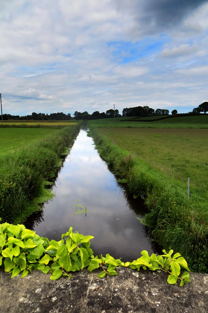
Image: © Robert Ashby Taken: 24 Jun 2015
The low-lying land around Lough Neagh is prone to flooding and these man-made ditches are for drainage.
Images are licensed for reuse under creativecommons.org/licenses/by-sa/2.0
Image Location
Latitude
54.496052
Longitude
-6.553231