Flush Bracket, King's Ring Triangulation Pillar
Introduction
The photograph on this page of Flush Bracket, King's Ring Triangulation Pillar by Rossographer as part of the Geograph project.
The Geograph project started in 2005 with the aim of publishing, organising and preserving representative images for every square kilometre of Great Britain, Ireland and the Isle of Man.

There are currently over 7.5m images from over 14,400 individuals and you can help contribute to the project by visiting https://www.geograph.org.uk
Flush Bracket, King's Ring Triangulation Pillar
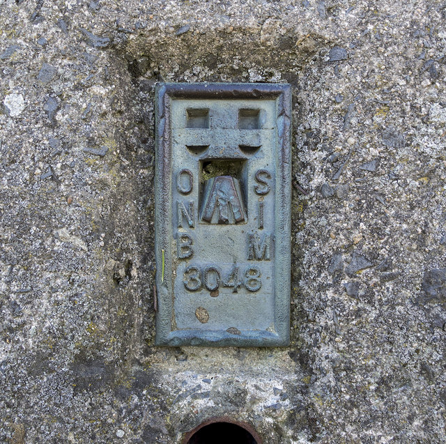
Image: © Rossographer Taken: 20 Jun 2015
The flush bracket bench mark on King's Ring trig pillar which is located on farmland a few miles south of Markethill. The number on the bracket is OSNIBM 3048. The mark has been levelled to 195.00 metres above MSL. See also Image and Image
Images are licensed for reuse under creativecommons.org/licenses/by-sa/2.0
Image Location
Latitude
54.249567
Longitude
-6.512778